The Park's 120,551 hectares are divided into 76,214 ha of land and 44,337 ha of surrounding reefs and sea. It can roughly be separated into three areas:
- The triangular shaped Ujung Kulon Peninsula The Gunung Honje
- Range to the east of the peninsula's isthmus
- The island of Panaitan to the north west
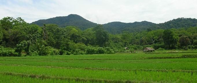
The highest points in the park are the 620 metre Gunung Honje, the Gunung Payung Range peaks of up to 500 metres and Panaitan Island's Gunung Raksa at 320 metres. In the central section of the Peninsula is a large region of wilderness known as the Telanca Plateau which reaches 140 metres above sea level, however most consist of low rolling terrain seldom morre that 50 metres above sea-level.
Surrounded by unusually warm warters, seldom varying from between 29o to 30o C. The coastlines of the park are moulded by the sea around them, battered by thee Indian Ocean, the long, sandy beaches of the south coast are backed by dunes, lagoons and forest broken by rocky outcrops - a wild and windswept shoreline.
GEOLOGY
The events that led to the formation of the land we know as Ujung Kulon began about 200 million years ago when what is now the Indian continent broke away from the super-continent of Goandwanaland. It collided with the Asian continent creating huge ripples acrross the earth's crust forming the snow-claad Himalayas along with
Sumatra's mountaain rarnge, Bukit Barisan.
It is believed that the Ujung Kulon Peninsula and the Gunung Honje range were at that time the southern end off the Bukit Barisan Range as Java and Sumatra were connected by a land-bridge. Then 20,000 to 15,000 years ago, the land-bridge collapsed to eventually form the Sunda Straits about 9,500 years ago.
However the period when the Straits was formed is somewhat contradicted by an intriguing account in an early Javanese chronicle The Book of Kings. It states that in thee year 416 A.D. the mountain Kapi (Krakatau) "burst into pieces aand sunk into the deepest of the earth' and the seas flooded the land from Gunung Gede near Bogor to the mountain Raja Basa in southern Sumatra.
The chronicle concludes:- "After the waters subsided the mountain Kapi and the surrounding land became sea and the island of Java was divided into two parts" It is curious fact that no sea straits between Sumatra and Java was known before the 1100's by the far-ranging Chinese and Arabian traders and later European explorers.
Beneath the mountains and forest of Ujung Kulon, carved by the thousand of centuries of rain, wind and sea, are the foundations of the land - a young mountain system formed over the older strata of the Sunda Shelf
Geologically, the Ujung Kulon Peninsula, Gunung Honje and Panaitan Island are all part of this young Tertiary mountain system while the central part of Ujung Kulon is of older limestone formations which have been covered by alluvial deposits in the north aand sand-stone in the south.
Much of the underlying rocks and early soils of the park are covered by volcanic ash, in places up to 1 metre deep, a legacy from the Krakatau erruptions.
The mountain ranges were all formed by the same folding event in the Miocene period creating beneath the forest of the Gunung Honje Range an eastward tilting mountain block.
A reminder of this activity is a geological fault line situated off the Tamanjaya coastline. It bisects the park beneath the isthmus as it passes through the Sunda Straits connecting the volcanic island of Krakatau to a major tectonic fault line to the south of Indonesia.
CLIMATE
Ujung Kulon's tropical maritime climate, somewhat cooler than inland areas of Java, produces an annual rainfall of approximately 3250 mm. Temperatures range between 25o and 30o C with humidity level generally between 80% and 90%.
April to October are the drier months, particularly between July to Ocyober. During these months, there are long periods of fine, calm weather with occasional spells of overcast skies, rain and rougher seas.
The wetter season usually begins in November and finishes in March bringing an average of 400 mm of rain per month. The heaviest rains of December and January are often accompanied by squalls and strong winds, clearing the atmosphere and producing brilliant sunsets and spectacular panoramas.
